Latest Topics in News


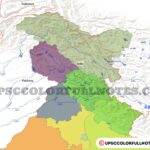
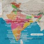
Meghalaya Map
Download Meghalaya Map, Meghalaya map in India, Meghalaya District Map, National park in Meghalaya.
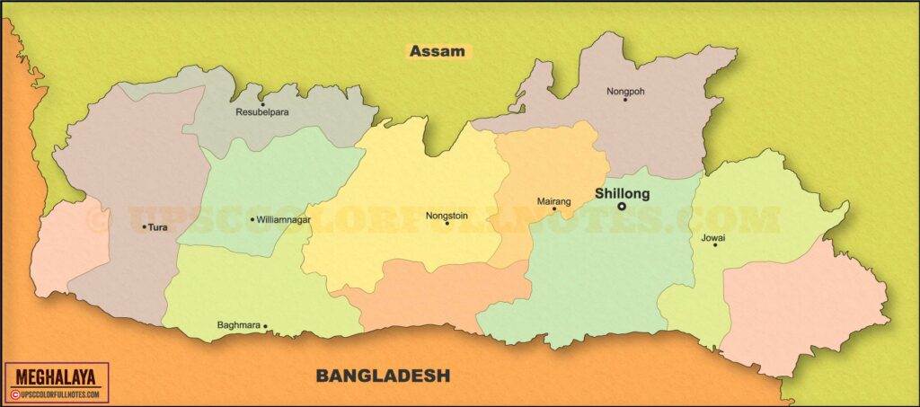
Download Meghalaya Map
Geography and Climate of Meghalaya
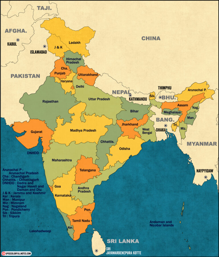
Meghalaya is located between 25°5’N – 26°10’N latitude and 89°45’E – 92°47’E longitude. It is bounded by Assam in the north and east and by Bangladesh in the south and west. Meghalaya extends for about 300 km in length and about 100 km in width.
The state can be physiographically categorised into three regions:
- The Central Plateau comprising the Khasi and Jaintia hills
- The Sub-montane Region sloping down to the plains of Assam
- The Border Region comprising deep gorges and slopes facing Bangladesh
The Central Plateau has high ridges, deep valleys and receives heavy rainfall. The Shillong Peak located here is the highest point in Meghalaya at 1961 m.
The Border Region receives very heavy rainfall and has steep slopes and cliffs facing Bangladesh. Cherrapunji and Mawsynram, known as the wettest places on earth, are located in this region.
Climate
Meghalaya enjoys a moderate climate due to its high elevation and forests. Summers are mildly warm with temperatures ranging 18°C – 24°C while winters are cool with temperatures between 5°C – 15°C.
However, the most defining climatic feature is the heavy monsoonal rainfall received across the state. The average annual rainfall varies between 2500 mm in the north to over 4000 mm in the southern parts. Mawsynram and Cherrapunji receive the highest rainfall in the world, averaging 11,000 mm annually.